Enterra GIS system is meant for transport monitoring using satellite navigation system with an option to determinate moving target positions up to 1 meter in real time. This system makes real managing all the traffic on 1 computer easy and fast.
The workflow
Data receiver based in the car for current position determination get data from satellites via GPS/GLONASS
Position data is transmitted via GPRS to Data Center routinely to be converted to the format suitable for mapping and getting all the reports required
The system is intended for
city and inter-city passenger traffic
control offices of trucking industry and taxi
cargo forwarding companies
security services of different companies
independent security agencies
companies with their own autopark
individual vehicles security
messenger and delivery services
The system allows to
reduce downtime and cargo delivery time
get immediate alert in case of unapproved access to the vehicle
recognize the cases of running out of fuel
register the cases of vehicle deviation from the route given
manage all the traffic flow
resist vehicle hijacking
increase the efficiency of trucking industry
find out vehicle location in case of hijacking
Main functions
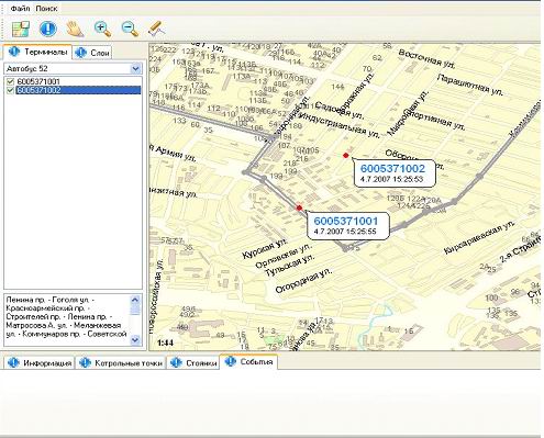
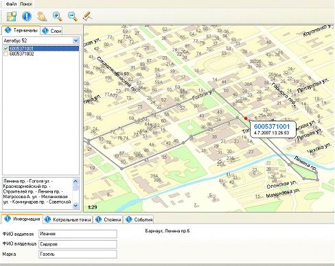
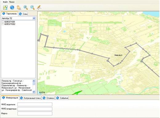
representation of vehicles current location on the RF map
vehicle current address mapping (street, house number nearby)
determination of the nearest built-up area distance together with the name of such settlement
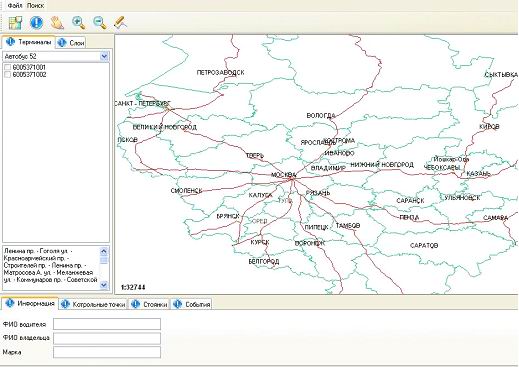
searching of the street and house on the city map, settlement searching
vehicle route building
determination of vehicle downtime intervals
notification of route alteration in case of vehicle course bend
vehicle traveling time control according to the rout control points
Technologies
The system is built using client-server technology. All the data of vehicle location stored on the server. For vehicle current location determination GPS (Global Positioning System) is used. Data transmission is realized via TCP/IP protocol using GPRS (Global Packet Radio Service).
Would you like to use our expertise in your project? Do not hesitate to contact us now
See software in action:
Start a Project
By submitting this form, you accept the terms of the Privacy Policy and consent to the processing of personal data for the purposes specified in it.