Online Measuring Tool
NorthwestBidPlugin is intended for construction firms to work with scanned plans, schemes.
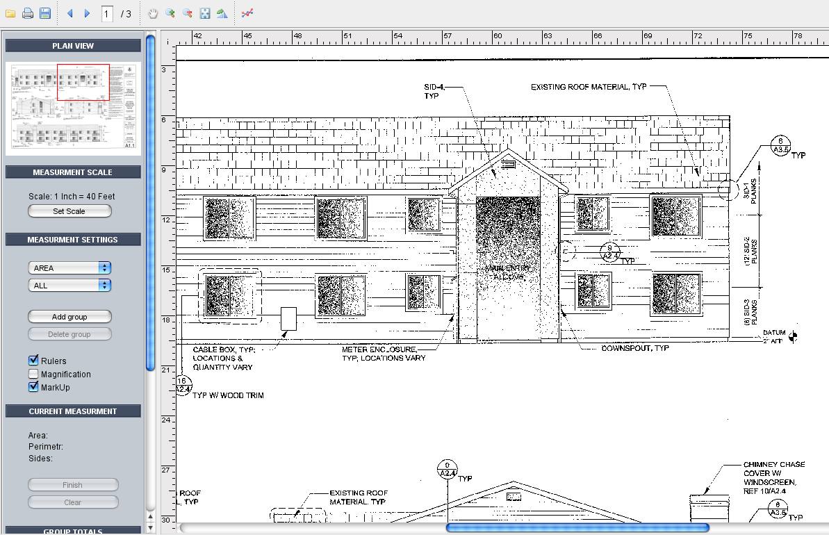
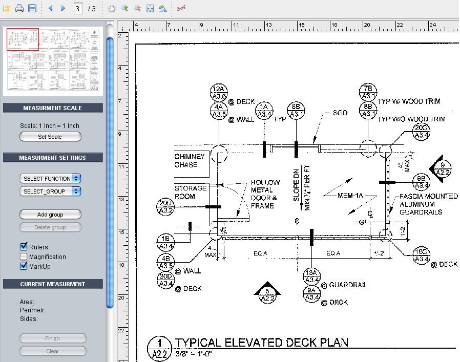
Application allows users to work with scanned schemes to get information about scheme's elements. User is able to set measurement scale. There are two ways to do this. First variant is to choose scale from available (One Inch = one Inch, Three Inches = One Foot and so on). The second variant is to pick the distance. To do this user need to draw line at the scheme and enter the real length corresponds to the line.
The next step is to set measurement settings. User is able to select measurement function from available (Area, Rectangle, Continuous Length, Interrupted Line and Item Count) and choose measurement group by selecting existing group or adding new one.
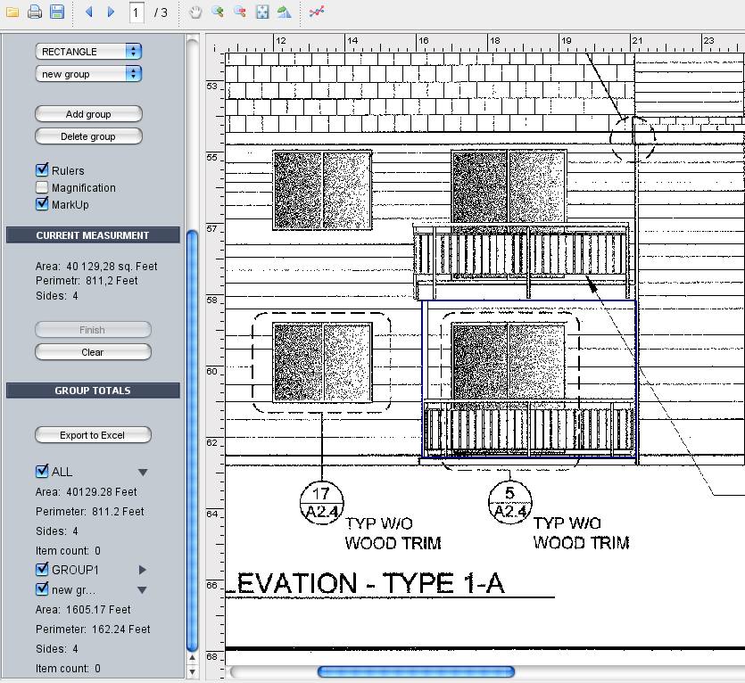
After settings are set up user is able to mark (draw) objects (figures) at the map. Objects' type is defined as measurement function for the current measurement group.
User is able to export group total measurements to Excel.
For example user is able to mark some area and get the following data: area, perimeter, amount of sides. Also user is able to mark the same elements by points (Item Count function) to view its amount.
There are toolbar provided at the application. Toolbar allows users to view all pages of scheme, print the scheme with user's markers, export with user's markers to PDF-file, toggle between scheme pages, navigate the scheme, zoom in/out, show the whole scheme in the window, rotate scheme, view all figures marked by user, enable/disable figures.
Would you like to use our expertise in your project? Do not hesitate to contact us now


